Introduction
Imagine this for a moment: You’re handed a pen, a few outdated maps, and five short weeks. Your job? Decide where one nation ends and another begins knowing that your lines will uproot millions of families, reshape cultures, and even spark wars.
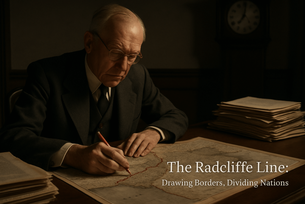
Sounds impossible, right? Yet in the summer of 1947, one British lawyer, Sir Cyril Radcliffe, was given this exact task. He had never visited India, never studied its geography, and knew little about its people. But when the British Empire decided to leave, it was Radcliffe who was asked to redraw the map of South Asia forever, altering history.
This is the story of the man behind the Radcliffe Line, the invisible stroke that became one of the most painful and contested borders in the world.
Who Was Cyril Radcliffe?
A Master of British Law, Not of Indian Geography
- Cyril John Radcliffe was a respected British judge and barrister.
- Born in 1899, he had a distinguished legal career in England, but no prior involvement in Indian affairs.
- Remarkably, before 1947, he had never set foot in India.
“A man given a pen, a stack of maps, and just five weeks to decide the courses of millions of lives.”
His lack of local context would become both a symbol and a source of controversy for generations.
Why Was He Chosen?
- Neutral outsider: Radcliffe had no personal or political interest in India or Pakistan.
- Legal expertise: The British believed his legal mind would be impartial and systematic.
- Colonial priorities: The desire for a rapid, efficient exit from India outweighed concerns for cultural or on-the-ground understanding.
The Impossible Mandate: Drawing the Border
What Was Radcliffe Asked to Do?
Radcliffe was put in charge of two boundary commissions, one for Punjab and one for Bengal. Both provinces were religiously mixed and central to both India and Pakistan’s identity.
His instructions?
- Divide British India’s most populous provinces “on the basis of ascertaining the contiguous majority of Muslims and non-Muslims.”
- Factor in “other considerations,” such as economic and administrative convenience.
He arrived in Delhi in July 1947 and had just five weeks to finish the task.
The Challenge
- No satellite imagery, aerial photographs, or computer databases.
- Limited and often outdated maps, census data from 1941.
- Intense political pressure from both Indian National Congress and the Muslim League.
- Millions of human stories, family ties, and local identities that no map could capture.
The Process
Radcliffe never left his office in Delhi due to security concerns and time constraints.
Instead, he relied on:
- Old census records
- Administrative district borders (many drawn for colonial convenience)
- Testimonies and petitions from both sides
He later confessed he did not have enough information to do the job in a humane or logical way.
Consequence and Controversy: The Human Cost
What Happened After the Partition Lines Were Drawn?
The Radcliffe Line was revealed on August 17, 1947—two days after independence. What followed was one of the largest migrations in human history:
- An estimated 10–15 million people crossed the new borders, seeking safety according to their religion.
- Up to 1–2 million people died in communal violence, disease, and exhaustion.
Real Stories, Real Losses
I once met a friend whose grandparents were forced to leave their ancestral home in what became Pakistan, settling in Delhi with nothing but a few keepsakes. Like millions of others, they grieved for lost neighbors, cherished orchards, and the home they could never revisit.
“Partition was not just a line on the map, but a tear in the social and cultural fabric of the subcontinent.”
Lasting Disputes
- Kashmir remains contested between India and Pakistan, with the boundary still a flashpoint for conflict.
- Families on both sides continue to feel the impact.
- The border is one of the most heavily militarized in the world.
Legacy and Reflection: Was Radcliffe to Blame?
A Personal Toll
Radcliffe, deeply unsettled by the violence that followed, refused his statutory fee of 40,000 rupees. He returned to England, never visiting India or Pakistan.
“I had no alternative. The time at my disposal was so short.” — Cyril Radcliffe
Some historians argue that the British rushed the process to suit political ends, and Radcliffe became a convenient scapegoat.
Responsibility and Regret
- The complexity of partition was far beyond any single person.
- Governments, colonial history, and local leaders all played roles.
- Radcliffe’s life after 1947 was marked by continued service in law, but he rarely spoke of his infamous assignment.
Food for Thought
- What happens when big decisions are made without understanding those most affected?
- Could a different process have led to less suffering, or did the cauldron of communal tensions make tragedy inevitable?
Conclusion
The man who drew the India-Pakistan border without setting foot in either remains an almost mythic figure in modern history. Cyril Radcliffe’s story is a reminder of how distant decisions can shape, and sometimes shatter, millions of lives. The lines he drew still reverberate, not just as ink on a map, but as lived realities for families separated, cultures divided, and histories rerouted.
What would you have done in his place? Can we ever fully grasp the human cost of decisions made far from the ground? We invite you to share your thoughts below, or to explore further on the complex legacy of the world’s most famous border.
Key Takeaway:Decisions made from afar can change lives in ways we might never foresee. Understanding history’s human costs helps us approach today’s dividing lines with empathy and care.